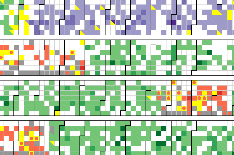
This page contains links for visualisations I have created for a Digital Humanities project when I was at the University of Leeds. This project aimed at mapping the trade of an eighteenth-century publishing house, the Societe Typographique de Neuchatel. I was working with Simon Burrows on his AHRC project (French book trade across late-Enlightenment Europe - FBTEE).
When applying classical methods of quantitative history, we can already see patterns of trade over the years (1769-1794). These visualisations are another way of interrogating the dataset gathered for this specific project. We have asked very classical research questions and we have produced these visualisations in order to further our analysis. For example, the Dorling cartogram enabled us to represent the relative importance of trade for each place over the years. Traditional maps would have prevented us from seeing the importance of small towns. You can see the maps I have created for this project by clicking this link.


